EXPLORATION IN THE TIME OF COVID-19
By Okcate Smith Posted June 1, 2020
It’s been nearly two and a half months since my partner and I began practicing physical distancing in mid-March. To help combat stress and stay fit during this time, we found ourselves hiking and exploring parts of northeastern Oklahoma to which we’d rarely or never been.
Keeping physical distancing in mind, we stayed fairly close to our home in Tulsa and took care to seek out places that weren’t heavily populated during our visits. This list is not all-inclusive, but it covers a majority of the places we went.
I hope this list provides you with new places you can explore and appreciate nature in a respectful, well-prepared manner. Be sure to plan ahead, dress appropriately, and pack snacks, water, sunscreen, bug spray, a first aid kit (at the very least), and happy hiking!
Two Rivers Trail (Keystone Lake)
OK-151, Sand Springs, OK 74063
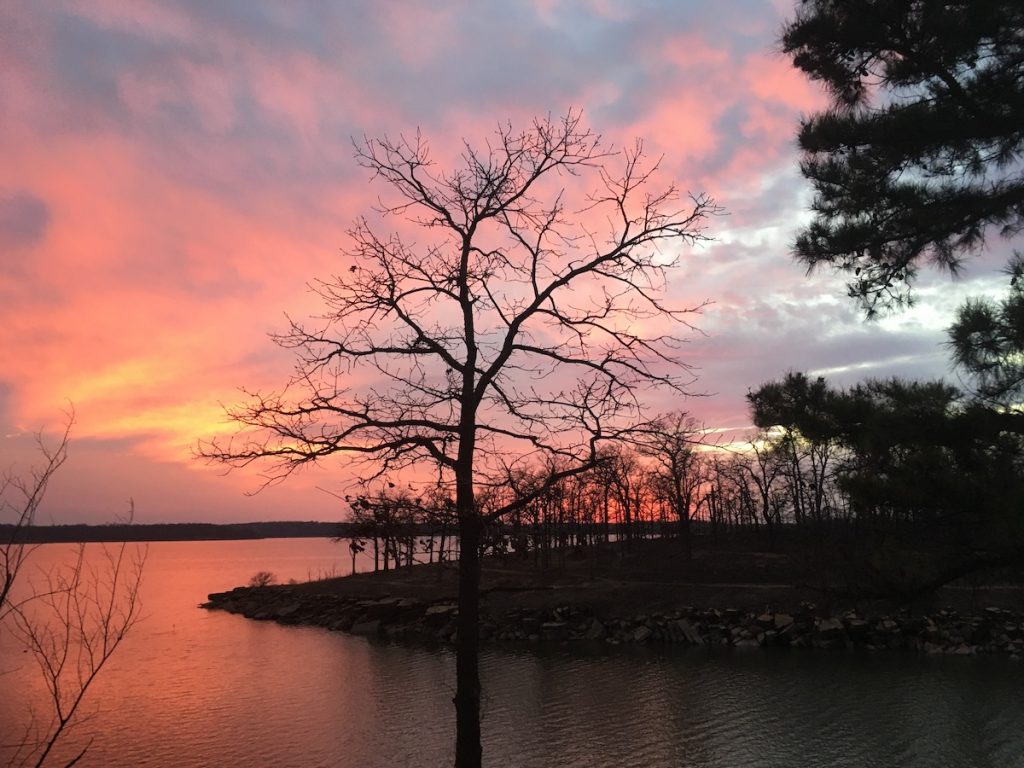
This was the first trail we explored during this time. I loved the sandstone outcroppings right along the shoreline; they were visually interesting and hikeable, though that area is more challenging than the trail itself. The sunset across the water, bright pink and orange, can’t be beat. There are a couple ways to go, so the area can be explored multiple times, but it can be crowded. We were able to go before it got too busy but haven’t been back to hike it since late March.
Deep Fork National Wildlife Refuge
21844 S 250 Rd, Okmulgee, OK 74447
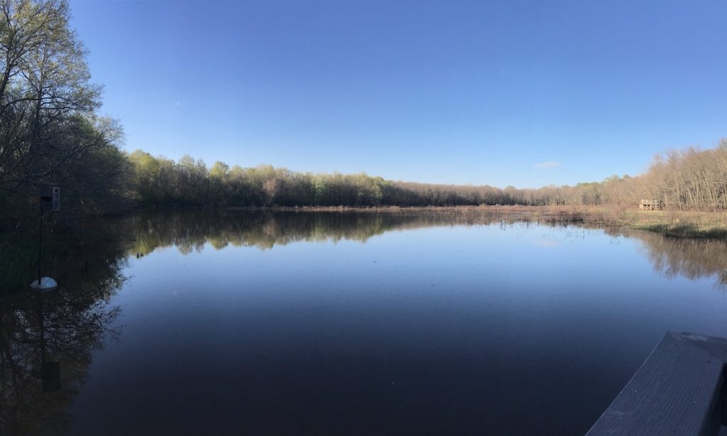
This is one of the remaining natural wetlands in Oklahoma, and I was glad to see it. The tall trees growing out of the waterways make a high canopy over the boardwalk that goes through it. There is also a hiking trail that branches off of the boardwalk, but it was a little flooded when we went. I’d like to go back to explore again. It’s a really great place to observe native wildlife and birdwatch.
Oak Leaf Nature Trail (Okmulgee Lake and Recreation Area)
Oak Leaf Nature Trail, Okmulgee, OK 74447
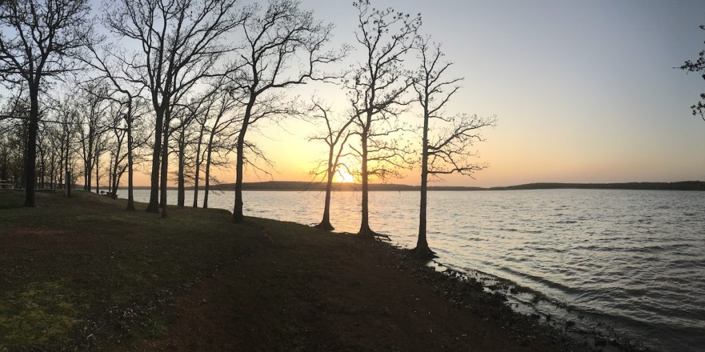
We have been to the Okmulgee Lake and Recreation Area twice; it’s huge, so I’m sure we’ll be back again. The air was cool and misty, and birds were flying all around the first time we went. There are multiple places that lead right up to the lake edge, and sometimes roots from the lakeside trees are exposed, making for a somewhat spooky looking shoreline.
When we returned, we walked the paved lakeside path and adjoining forest paths of the Oak Leaf Nature Trail. The paved portion hugs the shoreline and is quite accessible, and the wooded areas are challenging. I would recommend going through the woods in colder weather (like we did), as it looks like the foliage can get quite thick in warmer seasons. There is a scenic overlook just off the main road that offered an especially impressive view of the sunset-gilded lake that day.
Ranger Trail (Keystone State Park)
1926 OK-151, Sand Springs, OK 74063
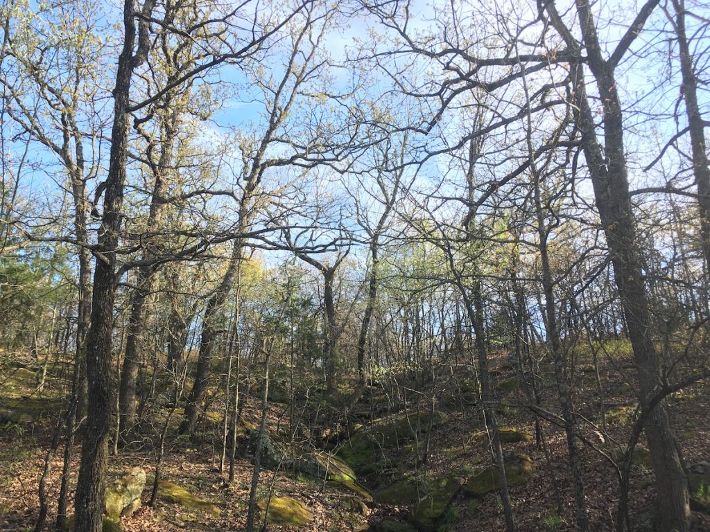
This trail is really close to Tulsa, like Two Rivers Trail, and just off of Highway 151. I really enjoyed the varied terrain, which makes for a stimulating hike. It is rated as easy, but I would say it leans a little toward moderate, especially if you don’t hike often or have trouble with uneven ground. I enjoyed how the path was rocky in some places and earthen in others. It winds through the forest, which is populated with pretty trees, rock outcroppings, and a few waterways. The path is fairly wide in most places.
Ray Harral Nature Park
7101 S 3rd St, Broken Arrow, OK 74011
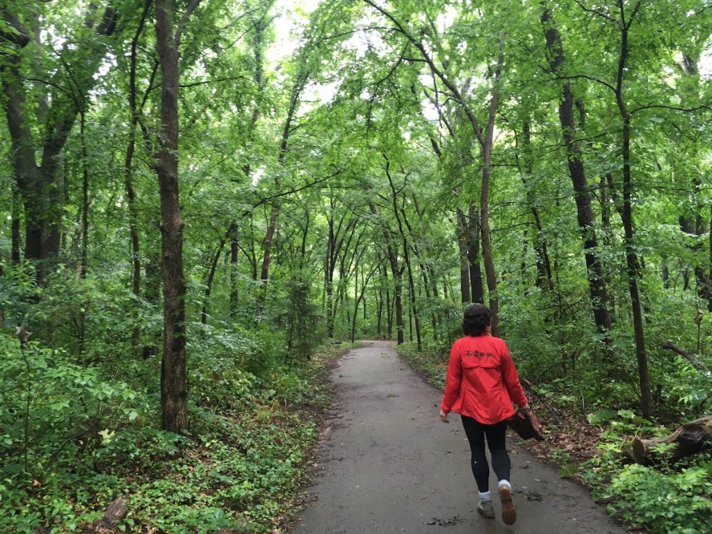
This forested park offers paved and unpaved areas to explore. The trees are huge and the paths varied in grade and length. I’ve visited in winter and spring and have enjoyed both experiences equally. Spring brings lush, verdant foliage, and winter opens up paths through groves that are inaccessible otherwise. It’s popular so take care at the exits and entrances, as they can get crowded, but the park is so large it’s easy to forget that it’s right next to a city.
Pink Trail (Turkey Mountain Urban Wilderness Area)
Turkey Mountain Urban Wilderness Area, Tulsa, OK 74132
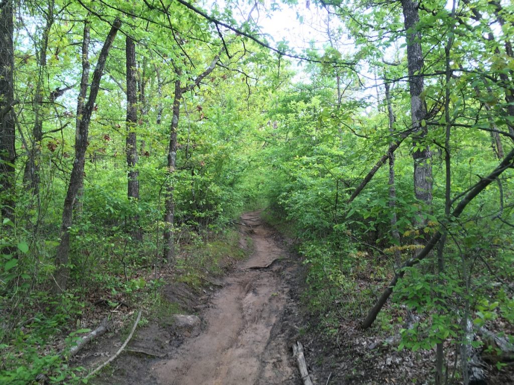
I’d never been on this trail before, and I’m looking forward to returning. We hiked about half of the 5.7 mile loop and walked among tall trees, near little streams, through grassy areas, and rocky terrain. It’s unpaved, and challenging in some places. The breeze that played through the leaves was fresh and filled with birdsong, and it felt like I had gotten away from the city, despite it being just off the highway. It is directly accessible from the upper lot at Turkey Mountain.
Will Rogers Country Centennial Trail (Oologah Lake)
36°24’54.6″N 95°38’16.0″W
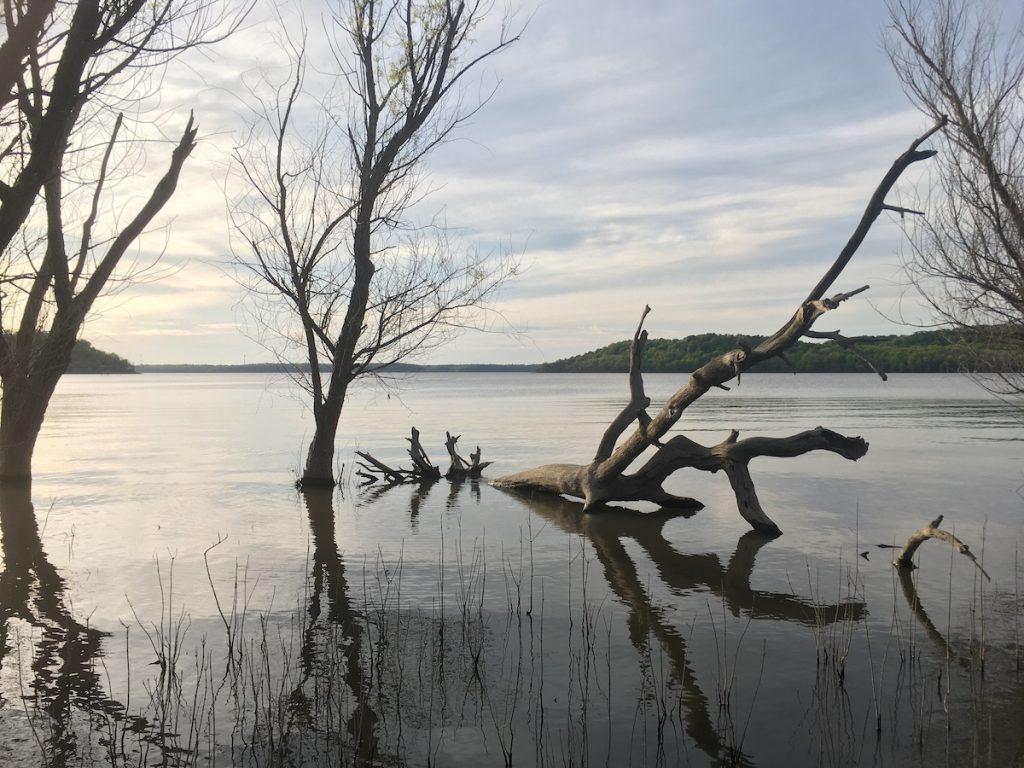
Will Rogers Country Centennial Trail is just off Highway 88, on the south edge of the lake. This trailhead opens up to multiple paths, some more accessible than others, depending on the time of year and how thick the underbrush happens to be. The main trail was muddy and not easy to hike, but worth the trip. The lush tree coverage leads directly to a strange landscape at the end of the trail. That area is not marked as inaccessible, but it is a flood zone for the lake, so be aware of water levels before you go. When it is dry, the sandy bank is still spongy with nearly leafless trees populating the silver-gray landscape. These qualities give the whole area an otherworldly and dreamlike vibe, making for a memorable experience, especially contrasted with the rich foliage of the main part of the trail.
Skull Hollow Nature Trail (Oologah Lake)
8317 OK-88, Oologah, OK 74053
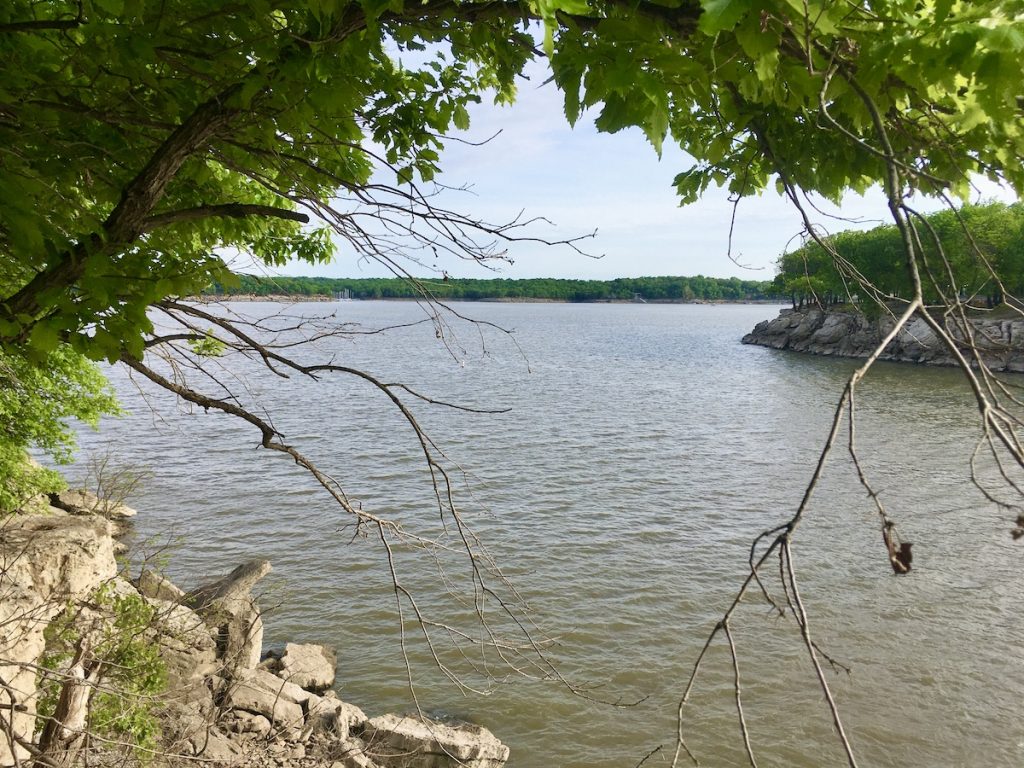
This set of trails can be accessed through a few entrances. The one we found was not far from the lake edge, just off of a little park area with a gazebo. The path was picturesque, varied in terrain, led directly into the woods, was dappled with sunlight, and led to the main set of trails. There are three of varying lengths and difficulties that can be hiked, or you can treat them as one long loop, which is the approach we took. This set of trails winds through the lush forest canopies, along lake bluffs, and past a little meadow near the end. It is definitely a place we’d return to, as I’m sure the scenery will be dramatically unique to each season.
Prairie Earth Trail (Joseph H Williams Tallgrass Prairie Preserve)
Co Rd 4201, Pawhuska, OK 74056
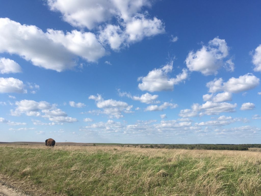
We’d been to the Tallgrass Preserve a couple times before, but this was the first time we’d hiked the Prairie Earth Trail. It took about an hour and a half to complete, and it was well worth it. This path took us over the expansive hills of prairie, though a glen, up rocky hillsides, tallgrass meadows, and across streams. Though the bison herds are observable and separated from this area by fences, herds of deer run free, keeping their distance from people, nonetheless. The day we went, the sky was bright blue, the sunlight brilliant, and the birds were flying overhead.
Walking Trail (Keystone Lake)
36°08’21.0″N 96°15’35.5″W
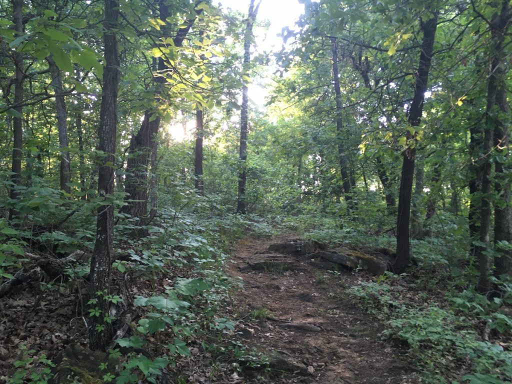
This is another trail we had no idea existed until recently. I really enjoyed the scenery and relatively rugged terrain, but it is narrow, so it would be hard to hike and keep distance between any other passing hikers. It is challenging but navigable, and populated with lots of pretty trees, tiny outcroppings and runoff areas. If you’re looking for a rough trail near the city, I would recommend this one. Be sure to wear pants, long sleeves, and bug spray as the foliage can be thick.
Bluestem Falls
Co Rd 4275, Pawhuska, OK 74056
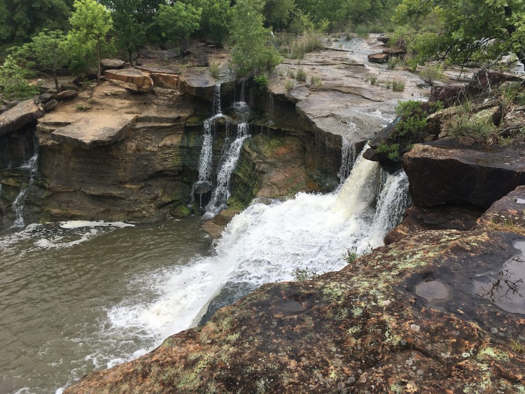
The falls, a spillway created by Bluestem Lake overflowing over large, broad, flat rocks, create a visually impressive view from the top of the falls and from the hiking paths alike. The day we went was gray and a little muggy, but the mist in the air only added to the romance of the vista. When the water level is low, the rocks at the top of the falls are walkable, but they can be slippery, so use caution. Also, be sure to monitor rainfall levels when planning your hike as the falls can be nearly non-existent or raging. When we went, the main trail was muddy, due to some recent rainfall, but the falls were not dangerously robust. There is also another area on the opposite bank that can be explored, but it’s rough and not as clear cut as the main trail. Overall, Bluestem Falls made for an engaging, unique, and challenging hike. I look forward to visiting it again.
Chinkapin Trail (Lake Eufaula State Park)
111563 OK-150, Checotah, OK 74426
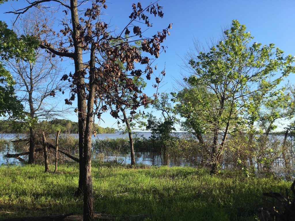
Located just under the giant fish and across the road from the Visitor’s Center is the Chinkapin trailhead. Like Skull Hollow, there are three trails that can be hiked separately or treated as one long loop. The terrain is varied, but the trail itself is wide, with plenty of room for my partner and I to walk side-by-side. Parts of it can be muddy, especially near the lake edge, but overall, it was fairly navigable the day we were there. From a distance, we spotted deer and a family of wild hogs on our visit. The forest canopy is high, and the grassy areas are open and peaceful.

0 Comments